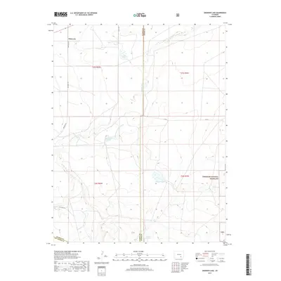
2019 Map of Snowden Lake
USGS Topo · Published 2019About this map
Whiterock sits at the northern edge of this high plains landscape, where the Apishapa River cuts a winding path through the arid terrain of Pueblo and Otero counties. The river's movement over time is clearly visible in the presence of the Old Channel Apishapa River, indicating a shift in the local hydrology that historically dictated settlement and grazing patterns. To the southeast, the Comanche National Grassland encompasses significant acreage, preserving the shortgrass prairie environment. Scattered water sources like Snowden Lake, Kitch Spring, and La Pear Pond serve as critical landmarks in this open country. The intersection of Whiterock Rd and Co Rd N provides the primary transit network through the range, connecting isolated ranching interests with the broader region. The map also captures the confluence of Saunders Arroyo with the river, highlighting the seasonal drainage systems typical of the Colorado plains.
Find a feature on this map
19 named features on this map. Tap any name to fly to it.
Don’t see what you’re looking for? This feature index may not catch every label — zoom into the map to look around manually.
Map Details
Editions of this 2019 Snowden Lake Map
This is the sole edition of this map. No revisions or reprints were ever made.
Other maps of this area

1891 · Timpas
USGS Topo · 1:125,000

1891 · Apishapa
USGS Topo · 1:125,000

1893 · Apishapa
USGS Topo · 1:125,000

1894 · Timpas
USGS Topo · 1:125,000

1897 · Apishapa
USGS Topo · 1:125,000

1954 · Trinidad
USGS Topo · 1:250,000

1955 · La Junta
USGS Topo · 1:250,000

1955 · Trinidad
USGS Topo · 1:250,000

1958 · La Junta
USGS Topo · 1:250,000

1958 · Trinidad
USGS Topo · 1:250,000