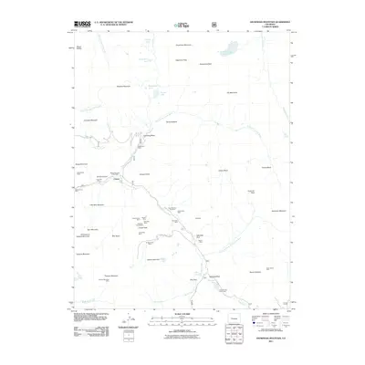
2011 Map of Snowmass Mountain
USGS Topo · Published 2011About this map
High-altitude mining sites and small mountain settlements dominate this 2011 survey of the Elk Mountains region. The settlement of Crystal sits at the confluence of the North Fork Crystal River and the South Fork Crystal River, while Schofield is located further south near Schofield Park. This landscape is defined by its deep extraction history, evidenced by a high density of claims including the Lead King Mine, Lucky Boy Mine, and Black Queen Shaft near Crystal Canyon.
Find a feature on this map
77 named features on this map. Tap any name to fly to it.
Don’t see what you’re looking for? This feature index may not catch every label — zoom into the map to look around manually.
Map Details
Editions of this 2011 Snowmass Mountain Map
This is the sole edition of this map. No revisions or reprints were ever made.
Other maps of this area

1888 · Crested Butte
USGS Topo · 1:62,500

1888 · Anthracite
USGS Topo · 1:62,500

1889 · Crested Butte
USGS Topo · 1:62,500

1889 · Anthracite
USGS Topo · 1:62,500

1893 · Anthracite
USGS Topo · 1:62,500

1893 · Crested Butte
USGS Topo · 1:62,500

1893 · Aspen
USGS Topo · 1:62,500

1894 · Anthracite
USGS Topo · 1:62,500

1895 · Aspen
USGS Topo · 1:62,500

1909 · Mount Jackson
USGS Topo · 1:125,000