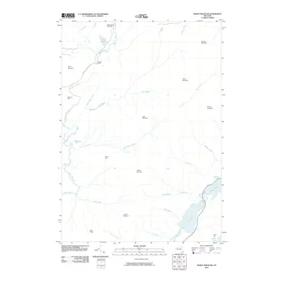
2010 Map of Snowy Mountain
USGS Topo · Published 2010About this map
Snowy Mountain rises as a central landmark in this portion of the Adirondacks, overlooking a landscape defined by an intricate network of waterways and hiking corridors. The Northville Lake Placid Trl winds through the western terrain, passing near Wakely Dam and the northern reaches of the Cedar River. This area represents a significant intersection of recreational trails and managed water resources, where the Cedar River Rd provides access to remote points like Wakely Pond.
Find a feature on this map
36 named features on this map. Tap any name to fly to it.
Don’t see what you’re looking for? This feature index may not catch every label — zoom into the map to look around manually.
Map Details
Editions of this 2010 Snowy Mountain Map
This is the sole edition of this map. No revisions or reprints were ever made.
Other maps of this area

1899 · Indian Lake
USGS Topo · 1:62,500

1900 · Canada Lake
USGS Topo · 1:62,500

1902 · Indian Lake
USGS Topo · 1:62,500

1903 · West Canada Lakes
USGS Topo · 1:62,500

1903 · Raquette Lake
USGS Topo · 1:62,500

1903 · Blue Mountain
USGS Topo · 1:62,500

1950 · Utica
USGS Topo · 1:250,000

1954 · Blue Mountain
USGS Topo · 1:62,500

1954 · Indian Lake
USGS Topo · 1:62,500

1954 · West Canada Lakes
USGS Topo · 1:62,500