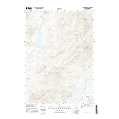
2016 Map of Snowy Mountain
USGS Topo · Published 2016About this map
Speculator sits at the southeastern edge of this high-elevation landscape, where the Miami River flows toward the southern tip of Indian Lake. The terrain is defined by a dense network of peaks and ridges, including Snowy Mtn, Lewey Mtn, and the Blue Ridge. To the northwest, the Cedar River feeds into the Cedar River Flow, a major water body flanked by Sturges Hills and Payne Mtn.
Find a feature on this map
39 named features on this map. Tap any name to fly to it.
Don’t see what you’re looking for? This feature index may not catch every label — zoom into the map to look around manually.
Map Details
Editions of this 2016 Snowy Mountain Map
This is the sole edition of this map. No revisions or reprints were ever made.
Other maps of this area

1899 · Indian Lake
USGS Topo · 1:62,500

1900 · Canada Lake
USGS Topo · 1:62,500

1902 · Indian Lake
USGS Topo · 1:62,500

1903 · West Canada Lakes
USGS Topo · 1:62,500

1903 · Raquette Lake
USGS Topo · 1:62,500

1903 · Blue Mountain
USGS Topo · 1:62,500

1950 · Utica
USGS Topo · 1:250,000

1954 · Blue Mountain
USGS Topo · 1:62,500

1954 · Indian Lake
USGS Topo · 1:62,500

1954 · West Canada Lakes
USGS Topo · 1:62,500