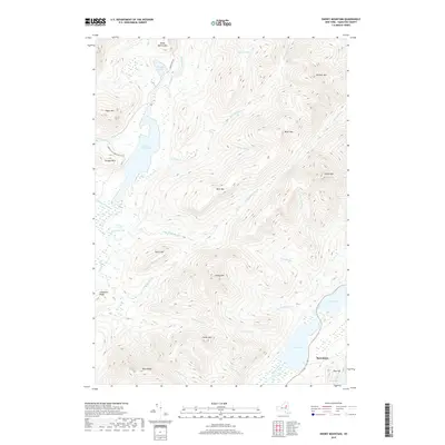
2019 Map of Snowy Mountain
USGS Topo · Published 2019About this map
Speculator sits at the southeastern edge of this high-altitude landscape, where the Miami River feeds into the broad reaches of Lewey Lake. The terrain is defined by a series of prominent peaks and ridges, including the massive Snowy Mtn and the sprawling Blue Ridge to the southwest. This area serves as a significant drainage basin, with the Cedar River Flow in the northwest and numerous waterways like Sucker Brook and Cellar Brook carving through the steep elevations of Buck Mtn and Lewey Mtn.
Find a feature on this map
41 named features on this map. Tap any name to fly to it.
Don’t see what you’re looking for? This feature index may not catch every label — zoom into the map to look around manually.
Map Details
Editions of this 2019 Snowy Mountain Map
This is the sole edition of this map. No revisions or reprints were ever made.
Other maps of this area

1899 · Indian Lake
USGS Topo · 1:62,500

1900 · Canada Lake
USGS Topo · 1:62,500

1902 · Indian Lake
USGS Topo · 1:62,500

1903 · West Canada Lakes
USGS Topo · 1:62,500

1903 · Raquette Lake
USGS Topo · 1:62,500

1903 · Blue Mountain
USGS Topo · 1:62,500

1950 · Utica
USGS Topo · 1:250,000

1954 · Blue Mountain
USGS Topo · 1:62,500

1954 · Indian Lake
USGS Topo · 1:62,500

1954 · West Canada Lakes
USGS Topo · 1:62,500