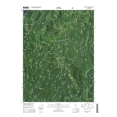
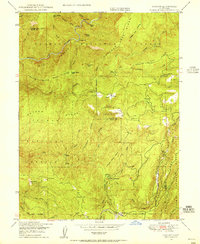
2015 Map of Soapstone Hill
USGS Topo · Published 2015About this map
The Plumas National Forest landscape across the Plumas and Butte County line is defined by the steep drainage basins of the Little N Fork of Middle Fork Feather River. In the southern portion of the sheet, the settlement of Merrimac sits near Carey Gulch and Spoon Ravine, while Buckeye occupies the central flats near Walker Plains. The terrain is marked by distinctive granite formations and high points such as Duffey Dome, Elephant Butte, and Frog Rock.
Find a feature on this map
82 named features on this map. Tap any name to fly to it.
Don’t see what you’re looking for? This feature index may not catch every label — zoom into the map to look around manually.
Map Details
Editions of this 2015 Soapstone Hill Map
This is the sole edition of this map. No revisions or reprints were ever made.
Other maps of this area

1888 · Bidwell Bar
USGS Topo · 1:125,000

1891 · Bidwell Bar
USGS Topo · 1:125,000

1893 · Bidwell Bar
USGS Topo · 1:125,000

1895 · Bidwell Bar
USGS Topo · 1:125,000

1897 · Bidwell Bar
USGS Topo · 1:125,000
1947 · Brush Creek
USGS Topo · 1:24,000

1948 · Big Bend Mtn
USGS Topo · 1:62,500
1948 · Mooreville Ridge
USGS Topo · 1:62,500
1948 · Las Plumas
USGS Topo · 1:24,000
1948 · Cascade
USGS Topo · 1:24,000