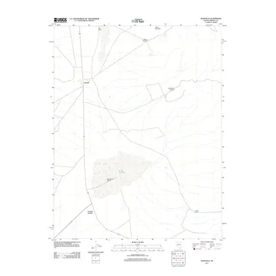
2011 Map of Sodaville
USGS Topo · Published 2011About this map
Rhodes Salt Marsh dominates the southern landscape of this Mineral County quadrangle, highlighting the arid, mineral-rich terrain characteristic of the region. The small settlement of Sodaville sits at the junction of several local routes, anchored by the nearby Soda Springs. This area has long served as a transportation and resource hub, evidenced by the positioning of Tonopah Junction to the south and the Mina Airport at the northern boundary. The topography is defined by significant elevation changes, with Llama Mountain rising above a series of drainages including Water Canyon, Telephone Canyon, and Long Canyon. These canyons and seasonal water sources like Sulphur Spring and Martin Spring reveal the vital natural features that dictated the development of early Nevada infrastructure and travel corridors.
Find a feature on this map
12 named features on this map. Tap any name to fly to it.
Don’t see what you’re looking for? This feature index may not catch every label — zoom into the map to look around manually.
Map Details
Editions of this 2011 Sodaville Map
This is the sole edition of this map. No revisions or reprints were ever made.
Other maps of this area

1907 · Tonopah
USGS Topo · 1:250,000

1908 · Tonopah
USGS Topo · 1:250,000

1909 · Hawthorne
USGS Topo · 1:250,000

1911 · Hawthorne
USGS Topo · 1:250,000

1915 · Hawthorne
USGS Topo · 1:250,000

1948 · Walker Lake
USGS Topo · 1:250,000

1956 · Tonopah
USGS Topo · 1:250,000

1957 · Walker Lake
USGS Topo · 1:250,000

1959 · Tonopah
USGS Topo · 1:250,000

1962 · Walker Lake
USGS Topo · 1:250,000