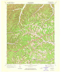
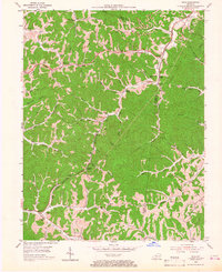
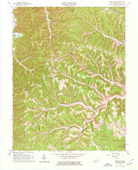
1970 Map of Soldier
USGS Topo · Published 1972This historical map portrays the area of Soldier in 1970, primarily covering Carter County as well as portions of Lewis County and Rowan County. Featuring a scale of 1:24000, this map provides a highly detailed snapshot of the terrain, roads, buildings, counties, and historical landmarks in the Soldier region at the time. Published in 1972, it is the sole known edition of this map.
Map Details
Editions of this 1970 Soldier Map
This is the sole edition of this map. No revisions or reprints were ever made.
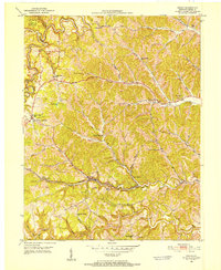
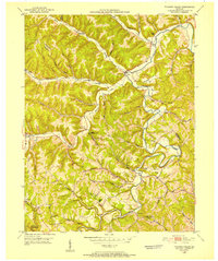
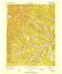
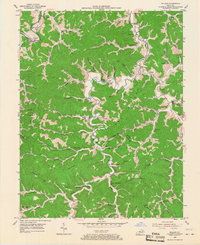
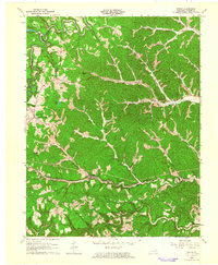
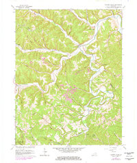
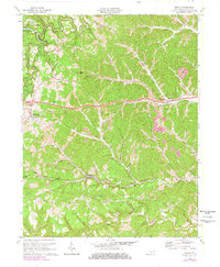
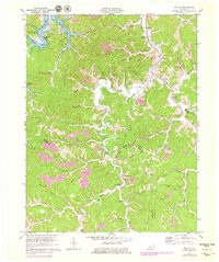
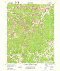
Historical Maps of Lewis County Through Time
13 maps found
1950 Grahn
Carter County, KY
1950 Tygarts Valley
Carter County, KY
1950 Wesleyville
Carter County, KY

1951 Soldier
Carter County, KY
1953 Rush
Carter County, KY
1953 Willard
Carter County, KY
1962 Grahn
Carter County, KY
1962 Tygarts Valley
Carter County, KY
1962 Wesleyville
Carter County, KY
1970 Grahn
Carter County, KY
1970 Soldier
Carter County, KY
1970 Willard
Carter County, KY
1971 Rush
Carter County, KY