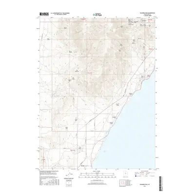
2017 Map of Soldiers Pass
USGS Topo · Published 2017About this map
Utah Lake borders the eastern edge of this western Utah County landscape, where the rising slopes of the Lake Mountains dominate the terrain. The area is defined by a series of steep drainages including Mercer Canyon, Ivans Canyon, and Wildcat Canyon to the north, while the southern reaches are marked by prominent heights like White Knoll, Black Point, and Cat Hill. This 2017 survey details the intersection of early 20th-century agricultural ambition and modern infrastructure.
Find a feature on this map
48 named features on this map. Tap any name to fly to it.
Don’t see what you’re looking for? This feature index may not catch every label — zoom into the map to look around manually.
Map Details
Editions of this 2017 Soldiers Pass Map
This is the sole edition of this map. No revisions or reprints were ever made.
Other maps of this area

1885 · Salt Lake
USGS Topo · 1:250,000
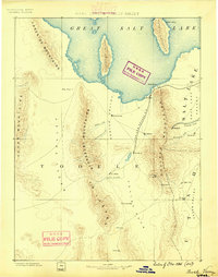
1885 · Tooele Valley
USGS Topo · 1:250,000
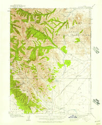
1915 · Fairfield
USGS Topo · 1:62,500
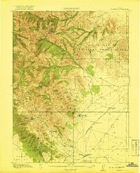
1917 · Fairfield
USGS Topo · 1:62,500
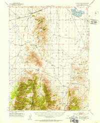
1947 · Fivemile Pass
USGS Topo · 1:62,500
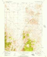
1947 · Allens Ranch
USGS Topo · 1:24,000
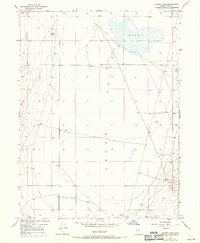
1947 · Goshen Pass
USGS Topo · 1:24,000
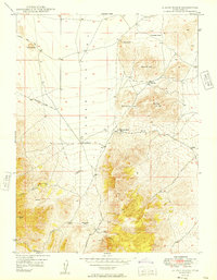
1949 · Allens Ranch
USGS Topo · 1:24,000
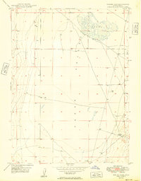
1949 · Goshen Pass
USGS Topo · 1:24,000
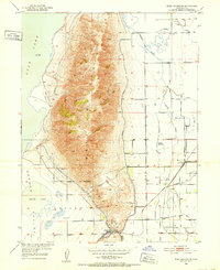
1950 · West Mountain
USGS Topo · 1:24,000