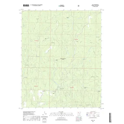
2020 Map of Solo
USGS Topo · Published 2020About this map
Solo and Retta anchor this portion of the Ozark National Forest in Pope County, where the landscape is defined by the convergence of the Illinois Bayou and its major tributaries. The Middle Fork Illinois Bayou and East Fork Illinois Bayou carve through the terrain, separated by prominent high points such as Younger Mtn and Divide Mtn. For those researching local family history, several burial grounds are scattered throughout the hills, including Solo Cem, Barkers Cem, and the Forks of Creek Cem situated near Crouch Hollow. The infrastructure reflects the area's rural character, with Old Hwy 27 winding through the forest and the Bayou Bluff Trail providing access to the river's edge. Distinctive hollows like Penhook Hollow and Mathis Hollow illustrate the complex drainage patterns that lead into Hurricane Cr and Mill Cr.
Find a feature on this map
42 named features on this map. Tap any name to fly to it.
Don’t see what you’re looking for? This feature index may not catch every label — zoom into the map to look around manually.
Map Details
Editions of this 2020 Solo Map
This is the sole edition of this map. No revisions or reprints were ever made.
Other maps of this area

1879 · Washington
USGS Topo · 1:62,500

1887 · Smyrna
USGS Topo · 1:62,500

1888 · Dardanelle #1
USGS Topo · 1:62,500

1889 · Treat
USGS Topo · 1:62,500

1889 · Marshall #3
USGS Topo · 1:62,500

1890 · Dardanelle
USGS Topo · 1:125,000

1892 · Marshall
USGS Topo · 1:125,000

1892 · Morrillton
USGS Topo · 1:125,000

1894 · Morrillton
USGS Topo · 1:125,000

1894 · Marshall
USGS Topo · 1:125,000