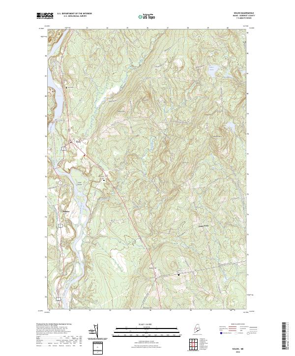
2024 Map of Solon
USGS Topo · Published 2024About this map
The Kennebec River carves the primary path through this Somerset County landscape, separating the community of Solon from the western bank at Embden. The river's influence on local geography is evident at Gray Island and near the northern bend where Fall Brook joins the main flow. Steep elevations rise sharply from the riverbanks toward peaks like Rowell Mtn and French Hill, while the eastern portion of the quadrangle is defined by a cluster of water bodies including Baker Pond, Chase Pond, and Mud Pond. Local history and genealogy are anchored by several notable burial grounds such as Pierce Cem and Evergreens Cem, which sit along the primary transport corridors. The settlement pattern shows a distinct concentration at the traditional town centers, with the outlying rural character preserved around South Solon and the surrounding network of farm roads like E Meader Farm Rd.
Find a feature on this map
64 named features on this map. Tap any name to fly to it.
Don’t see what you’re looking for? This feature index may not catch every label — zoom into the map to look around manually.
Map Details
Editions of this 2024 Solon Map
This is the sole edition of this map. No revisions or reprints were ever made.
Other maps of this area

1903 · Bingham
USGS Topo · 1:62,500

1904 · Anson
USGS Topo · 1:62,500

1905 · Bingham
USGS Topo · 1:62,500

1913 · Skowhegan
USGS Topo · 1:62,500

1948 · Bangor
USGS Topo · 1:250,000

1948 · Kingsbury
USGS Topo · 1:62,500

1950 · Kingsbury
USGS Topo · 1:62,500

1954 · Millinocket
USGS Topo · 1:250,000

1955 · Anson
USGS Topo · 1:62,500

1955 · Skowhegan
USGS Topo · 1:62,500