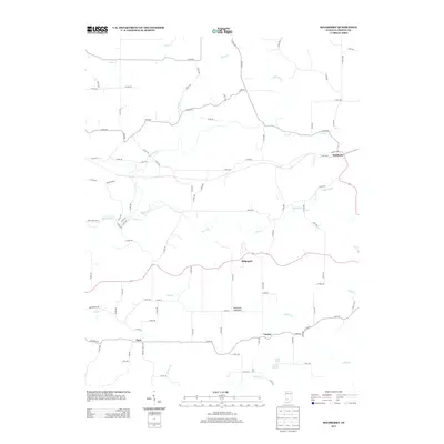
2013 Map of Solsberry
USGS Topo · Published 2013About this map
Solsberry and the surrounding rural landscape of Greene County are defined by a complex network of waterways and the distinct geological feature known as the American Bottoms. This area, surveyed in the early 2010s, shows a distribution of small communities including Ridgeport, Tanner, and Park, often situated along the winding county road system. The drainage pattern is particularly intricate, with Richland Cr and its many tributaries, such as Beech Cr and Anderson Br, carving through the terrain.
Find a feature on this map
86 named features on this map. Tap any name to fly to it.
Don’t see what you’re looking for? This feature index may not catch every label — zoom into the map to look around manually.
Map Details
Editions of this 2013 Solsberry Map
This is the sole edition of this map. No revisions or reprints were ever made.
Other maps of this area

1908 · Bloomington
USGS Topo · 1:48,000

1908 · Bloomfield
USGS Topo · 1:62,500

1910 · Bloomington
USGS Topo · 1:62,500

1935 · Oolitic
USGS Topo · 1:48,000

1942 · Oolitic
USGS Topo · 1:62,500

1950 · Arney
USGS Topo · 1:24,000

1951 · Bloomfield
USGS Topo · 1:24,000

1953 · Indianapolis
USGS Topo · 1:250,000

1956 · Indianapolis
USGS Topo · 1:250,000

1956 · Freedom
USGS Topo · 1:24,000