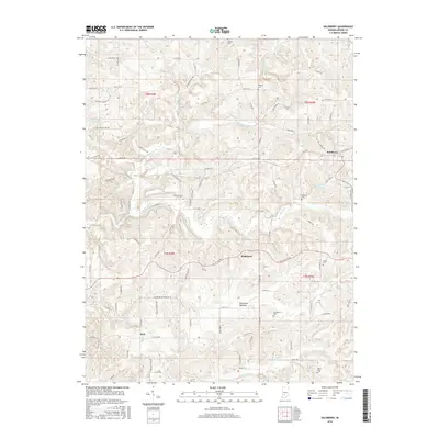
2016 Map of Solsberry
USGS Topo · Published 2016About this map
Solsberry and the surrounding rural landscape of Greene County are defined by a complex network of creeks and ridges. The terrain transitions from the high ground of Panther Ridge in the center of the sheet down to the American Bottoms, where numerous small tributaries like Bridge Creek and Stalcup Branch converge. This 2016 survey documents a primarily agricultural and residential pattern of life, with small settlements like Ridgeport and Park connected by a dense grid of county roads. For local historians and genealogists, the map provides precise locations for several family and community burial sites, including Stone Cemetery, Philpot Cemetery, and Bingham Cemetery. The presence of Beechwood Lake in the northwest corner highlights the importance of water management and recreation in this part of Indiana.
Find a feature on this map
97 named features on this map. Tap any name to fly to it.
Don’t see what you’re looking for? This feature index may not catch every label — zoom into the map to look around manually.
Map Details
Editions of this 2016 Solsberry Map
This is the sole edition of this map. No revisions or reprints were ever made.
Other maps of this area

1908 · Bloomington
USGS Topo · 1:48,000

1908 · Bloomfield
USGS Topo · 1:62,500

1910 · Bloomington
USGS Topo · 1:62,500

1935 · Oolitic
USGS Topo · 1:48,000

1942 · Oolitic
USGS Topo · 1:62,500

1950 · Arney
USGS Topo · 1:24,000

1951 · Bloomfield
USGS Topo · 1:24,000

1953 · Indianapolis
USGS Topo · 1:250,000

1956 · Indianapolis
USGS Topo · 1:250,000

1956 · Freedom
USGS Topo · 1:24,000