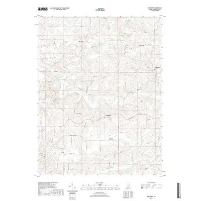
2019 Map of Solsberry
USGS Topo · Published 2019About this map
Solsberry and the surrounding Greene County hills define this landscape, where early 21st-century settlement patterns remain deeply tied to the winding watercourses and ridgelines. The area is characterized by a dense network of creek branches, including Richland Creek, Beech Cr, and Clifty Br, which carve through the terrain and influence the placement of historic communities like Ridgeport and Park. A significant geological and ecological feature, the American Bottoms, stretches across the central portion of the map, illustrating the unique drainage characteristics of this part of southern Indiana.
Find a feature on this map
95 named features on this map. Tap any name to fly to it.
Don’t see what you’re looking for? This feature index may not catch every label — zoom into the map to look around manually.
Map Details
Editions of this 2019 Solsberry Map
This is the sole edition of this map. No revisions or reprints were ever made.
Other maps of this area

1908 · Bloomington
USGS Topo · 1:48,000

1908 · Bloomfield
USGS Topo · 1:62,500

1910 · Bloomington
USGS Topo · 1:62,500

1935 · Oolitic
USGS Topo · 1:48,000

1942 · Oolitic
USGS Topo · 1:62,500

1950 · Arney
USGS Topo · 1:24,000

1951 · Bloomfield
USGS Topo · 1:24,000

1953 · Indianapolis
USGS Topo · 1:250,000

1956 · Indianapolis
USGS Topo · 1:250,000

1956 · Freedom
USGS Topo · 1:24,000