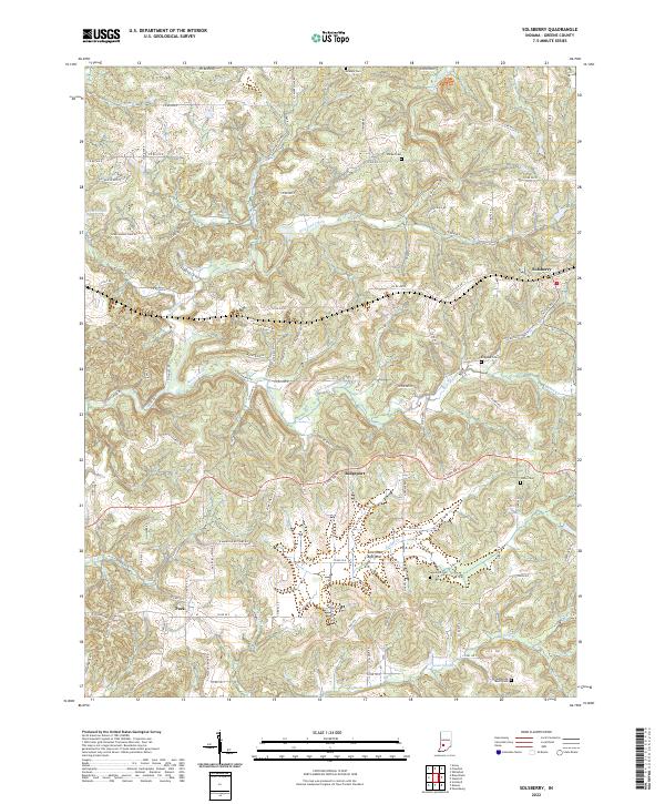
2022 Map of Solsberry
USGS Topo · Published 2022About this map
Richland Creek and Beech Creek carve through this section of Greene County, defining a landscape of deep drainage and prominent ridges like Panther Ridge. The settlement of Solsberry serves as a primary hub in the northeast, while smaller communities like Ridgeport and Park anchor the central and southwestern corridors. A notable geological feature, the American Bottoms, stretches across the southern portion of the sheet near Bridge Creek, reflecting the area's complex karst-influenced topography.
Find a feature on this map
63 named features on this map. Tap any name to fly to it.
Don’t see what you’re looking for? This feature index may not catch every label — zoom into the map to look around manually.
Map Details
Editions of this 2022 Solsberry Map
This is the sole edition of this map. No revisions or reprints were ever made.
Other maps of this area

1908 · Bloomington
USGS Topo · 1:48,000

1908 · Bloomfield
USGS Topo · 1:62,500

1910 · Bloomington
USGS Topo · 1:62,500

1935 · Oolitic
USGS Topo · 1:48,000

1942 · Oolitic
USGS Topo · 1:62,500

1950 · Arney
USGS Topo · 1:24,000

1951 · Bloomfield
USGS Topo · 1:24,000

1953 · Indianapolis
USGS Topo · 1:250,000

1956 · Indianapolis
USGS Topo · 1:250,000

1956 · Freedom
USGS Topo · 1:24,000