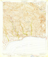
1932 Map of Solstice Canyon
USGS Topo · Published 1932About this map
Santa Monica Mountains peaks and canyons meet the coastline in this 1929 survey, documenting the early residential and recreational development of the Malibu area. The landscape is dotted with early 20th-century outposts like Brents Mtn Camp, the exclusive The Crags Country Club, and high-altitude ranching at Ferrel Ranch. Along the shore, the State Highway serves as the primary artery connecting coastal enclaves such as Malibu Vista and El Nido near Escondido Beach.
Find a feature on this map
40 named features on this map. Tap any name to fly to it.
Don’t see what you’re looking for? This feature index may not catch every label — zoom into the map to look around manually.
Map Details
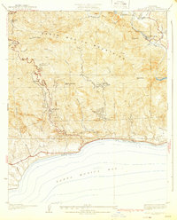
Editions of this 1932 Solstice Canyon Map
2 editions found
Other maps of this area

1900 · Triunfo Pass
USGS Topo · 1:62,500

1903 · Calabasas
USGS Topo · 1:62,500

1903 · Camulos
USGS Topo · 1:125,000

1921 · Triunfo Pass
USGS Topo · 1:62,500

1928 · Dry Canyon
USGS Topo · 1:24,000

1929 · Dume Point
USGS Topo · 1:24,000
1929 · Dry Canyon
USGS Topo · 1:24,000

1929 · Vejor
USGS Topo · 1:24,000

1929 · Solstice Canyon
USGS Topo · 1:24,000
1932 · Las Flores
USGS Topo · 1:24,000
Featured Places
- Malibu, CA
- Malibu Hills, Unincorporated Santa Monica Mountains
- Malibu Vista, Unincorporated Santa Monica Mountains
- El Nido, Unincorporated Santa Monica Mountains
- Unincorporated Santa Monica Mountains, CA