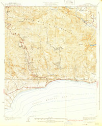
1932 Map of Solstice Canyon
USGS Topo · Published 1932About this map
The Santa Monica Mountains descend toward the Pacific shoreline in this 1932 topographic survey, revealing a landscape defined by deep canyons and early canyon-road developments. Prominent coastal features like Escondido Beach and Corral Beach sit at the base of steep drainages, including Latigo Canyon and Ramirez Canyon. The interior shows the footprint of early recreational and residential enclaves such as The Crags Country Club and Brents Mtn Camp, reflecting the era's transition from ranching to retreat-style living.
Find a feature on this map
47 named features on this map. Tap any name to fly to it.
Don’t see what you’re looking for? This feature index may not catch every label — zoom into the map to look around manually.
Map Details
Editions of this 1932 Solstice Canyon Map
2 editions found
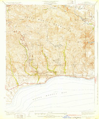
Other maps of this area

1900 · Triunfo Pass
USGS Topo · 1:62,500

1903 · Calabasas
USGS Topo · 1:62,500

1903 · Camulos
USGS Topo · 1:125,000

1921 · Triunfo Pass
USGS Topo · 1:62,500

1928 · Dry Canyon
USGS Topo · 1:24,000

1929 · Dume Point
USGS Topo · 1:24,000
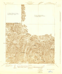
1929 · Dry Canyon
USGS Topo · 1:24,000

1929 · Vejor
USGS Topo · 1:24,000

1929 · Solstice Canyon
USGS Topo · 1:24,000
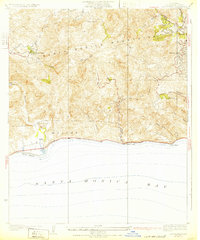
1932 · Las Flores
USGS Topo · 1:24,000
Featured Places
- Malibu, CA
- Malibu Hills, Unincorporated Santa Monica Mountains
- Malibu Vista, Unincorporated Santa Monica Mountains
- El Nido, Unincorporated Santa Monica Mountains
- Unincorporated Santa Monica Mountains, CA