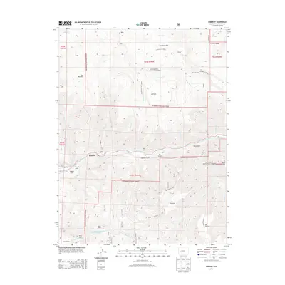
2013 Map of Somerset
USGS Topo · Published 2013About this map
The Somerset settlement sits tucked along the North Fork Gunnison River in this 2013 topographic study of western Gunnison County. Located along State Highway 133, the town is surrounded by the vast terrain of the Gunnison National Forest, which dominates the landscape with significant elevations like Fire Mountain and the high plateau of Buck Mesa. This map provides a look at the industrial and agricultural water management in the region, featuring the Minnesota Reservoir Monument Reservoir and Hall Reservoir, alongside remote outposts such as Dry Fork Cow Camp. The complex drainage network of the Elk and Sanborn Creeks is clearly visible, carving deep into the mesas at sites like Box Canyon and The Narrows. Researchers will find detailed topographic contours defining the steep transition from Thousand Acre Flats down to the river valley floor.
Find a feature on this map
46 named features on this map. Tap any name to fly to it.
Don’t see what you’re looking for? This feature index may not catch every label — zoom into the map to look around manually.
Map Details
Editions of this 2013 Somerset Map
This is the sole edition of this map. No revisions or reprints were ever made.
Other maps of this area

1938 · Mt. Gunnison
USGS Topo · 1:48,000

1945 · Mount Gunnison
USGS Topo · 1:62,500

1956 · Montrose
USGS Topo · 1:250,000

1957 · Leadville
USGS Topo · 1:250,000

1959 · Leadville
USGS Topo · 1:250,000

1959 · Montrose
USGS Topo · 1:250,000

1960 · Leadville
USGS Topo · 1:250,000

1960 · Montrose
USGS Topo · 1:250,000

1961 · Electric Mountain
USGS Topo · 1:24,000

1962 · Leadville
USGS Topo · 1:250,000