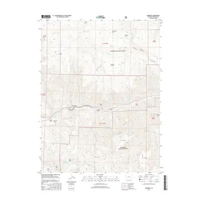
2016 Map of Somerset
USGS Topo · Published 2016About this map
Somerset occupies the narrow valley floor where Elk Cr meets the North Fork Gunnison River. This high-altitude landscape is defined by massive topographic features like Buck Mesa and Fire Mtn, with much of the territory managed as part of the Gunnison National Forest. The map shows the area's infrastructure concentrated along the river corridor, including Old Hwy 133 and the nearby Somerset Cem. Remote trails such as the Buck Mesa Trail and Thousand Acre Flat Trail wind through high parks and gulches, while water management is evident at Minnesota Reservoir and Hall Reservoir. The varied terrain names, from Deadman Gulch to The Narrows, reflect a landscape shaped by both natural erosion and human transit through the Box Canyon.
Find a feature on this map
46 named features on this map. Tap any name to fly to it.
Don’t see what you’re looking for? This feature index may not catch every label — zoom into the map to look around manually.
Map Details
Editions of this 2016 Somerset Map
This is the sole edition of this map. No revisions or reprints were ever made.
Other maps of this area

1938 · Mt. Gunnison
USGS Topo · 1:48,000

1945 · Mount Gunnison
USGS Topo · 1:62,500

1956 · Montrose
USGS Topo · 1:250,000

1957 · Leadville
USGS Topo · 1:250,000

1959 · Leadville
USGS Topo · 1:250,000

1959 · Montrose
USGS Topo · 1:250,000

1960 · Leadville
USGS Topo · 1:250,000

1960 · Montrose
USGS Topo · 1:250,000

1961 · Electric Mountain
USGS Topo · 1:24,000

1962 · Leadville
USGS Topo · 1:250,000