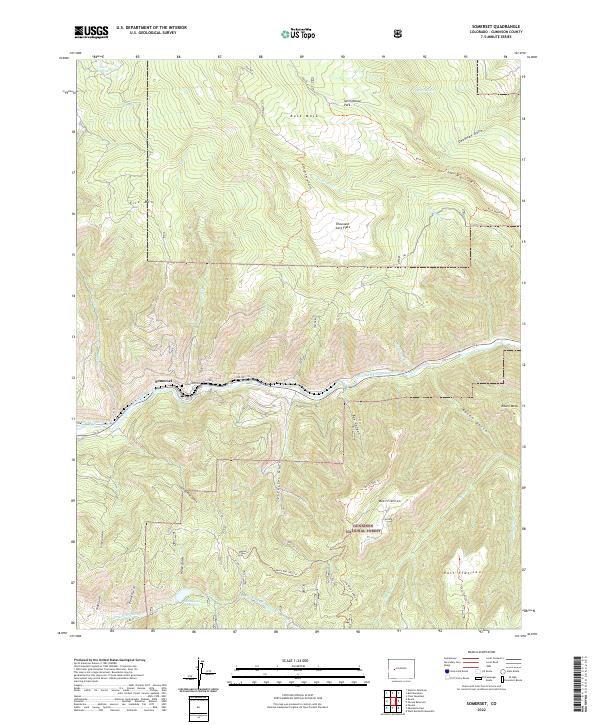
2022 Map of Somerset
USGS Topo · Published 2022About this map
Somerset sits at the heart of this landscape, positioned along the North Fork Gunnison River where the valley floor is hemmed in by massive uplifted formations. The settlement's proximity to Coal Gulch reflects the industrial heritage of the region, while the Somerset Cem provides a focal point for genealogical research in this mountain community. The surrounding terrain is dominated by high plateaus and deep incisions, notably Buck Mesa and the expansive Thousand Acre Flats. Water management for the arid surroundings is evidenced by the Fire Mountain Canal and elevated basins like Hall Reservoir and the Minnesota Reservoir. This portion of the Gunnison National Forest is defined by its dramatic verticality, from the depths of Box Canyon to the prominent heights of West Flatiron and East Flatiron.
Find a feature on this map
47 named features on this map. Tap any name to fly to it.
Don’t see what you’re looking for? This feature index may not catch every label — zoom into the map to look around manually.
Map Details
Editions of this 2022 Somerset Map
This is the sole edition of this map. No revisions or reprints were ever made.
Other maps of this area

1938 · Mt. Gunnison
USGS Topo · 1:48,000

1945 · Mount Gunnison
USGS Topo · 1:62,500

1956 · Montrose
USGS Topo · 1:250,000

1957 · Leadville
USGS Topo · 1:250,000

1959 · Leadville
USGS Topo · 1:250,000

1959 · Montrose
USGS Topo · 1:250,000

1960 · Leadville
USGS Topo · 1:250,000

1960 · Montrose
USGS Topo · 1:250,000

1961 · Electric Mountain
USGS Topo · 1:24,000

1962 · Leadville
USGS Topo · 1:250,000