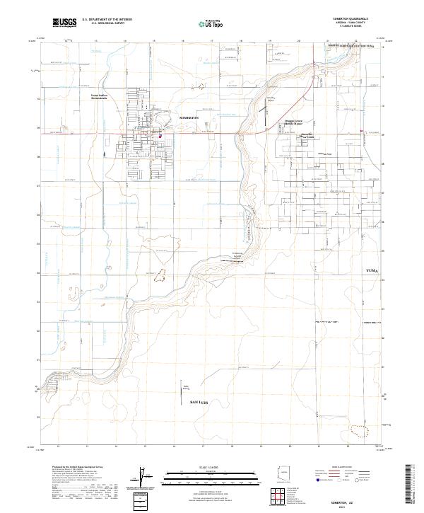
2021 Map of Somerton
USGS Topo · Published 2021About this map
The agricultural landscape surrounding Somerton is defined by an intricate network of irrigation and drainage infrastructure in the Yuma Valley. The map documents the vital water management systems that support the region, including the Main Drain, Somerton Canal, and numerous lateral waterways like the Faulkner Lateral and Johnson Lateral. These engineering features transformed the desert into productive farmland, supporting the growth of San Luis and residential developments such as Rancho Mesa Verde and Orange Grove Mobile Manor.
Find a feature on this map
90 named features on this map. Tap any name to fly to it.
Don’t see what you’re looking for? This feature index may not catch every label — zoom into the map to look around manually.
Map Details
Editions of this 2021 Somerton Map
This is the sole edition of this map. No revisions or reprints were ever made.