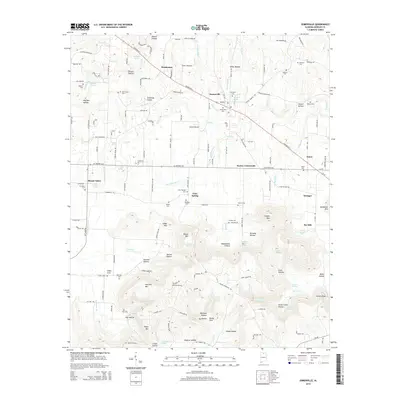
2014 Map of Somerville
USGS Topo · Published 2014About this map
Somerville and its surrounding Morgan County farmsteads appear here in a landscape defined by sharp elevation changes and numerous natural springs. The terrain transitions from the low-lying reaches of Town Cr and Gill Cr to the prominent heights of Fairview Mtn and Wilson Mtn. This area is characterized by a dense network of hollows, including Vinsant Hollow, Willis Hollow, and Devils Cellar Hollow, which likely dictated the early paths of local transport and settlement.
Find a feature on this map
152 named features on this map. Tap any name to fly to it.
Don’t see what you’re looking for? This feature index may not catch every label — zoom into the map to look around manually.
Map Details
Editions of this 2014 Somerville Map
This is the sole edition of this map. No revisions or reprints were ever made.
Other maps of this area

1888 · Cullman
USGS Topo · 1:125,000

1888 · Huntsville
USGS Topo · 1:125,000

1892 · Cullman
USGS Topo · 1:125,000

1892 · Huntsville
USGS Topo · 1:125,000

1927 · Falkville
USGS Topo · 1:24,000

1936 · Triana
USGS Topo · 1:24,000

1936 · Hartselle
USGS Topo · 1:24,000

1936 · Decatur
USGS Topo · 1:24,000

1936 · Eva
USGS Topo · 1:24,000

1936 · Somerville
USGS Topo · 1:24,000