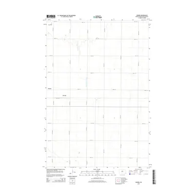
2014 Map of Sonora
USGS Topo · Published 2014About this map
The agricultural grid of Summit Township defines this corner of Richland County, where the small settlements of Sonora and Oswald sit along the local road network. The landscape is characterized by its exceptionally flat terrain, typical of the Red River Valley, which necessitated the construction of engineering features like County Ditch Number 30 to manage drainage across the prairie. Evidence of early community life is anchored by Saint Josephs Cem in the northwest, serving as a primary point of interest for genealogists tracing local family histories. This 2014 survey documents a modern rural landscape where traditional farmstead locations and section lines, such as 175th Ave SE and 93rd St SE, remain the dominant geographic framework.
Find a feature on this map
19 named features on this map. Tap any name to fly to it.
Don’t see what you’re looking for? This feature index may not catch every label — zoom into the map to look around manually.
Map Details
Editions of this 2014 Sonora Map
This is the sole edition of this map. No revisions or reprints were ever made.
Other maps of this area

1904 · Wahpeton
USGS Topo · 1:125,000

1915 · White Rock
USGS Topo · 1:62,500

1917 · New Effington
USGS Topo · 1:62,500

1918 · White Rock
USGS Topo · 1:62,500

1953 · Milbank
USGS Topo · 1:250,000

1953 · Fargo
USGS Topo · 1:250,000

1956 · Fargo
USGS Topo · 1:250,000

1958 · Milbank
USGS Topo · 1:250,000

1964 · Fairmount NW
USGS Topo · 1:24,000

1964 · Hankinson SE
USGS Topo · 1:24,000