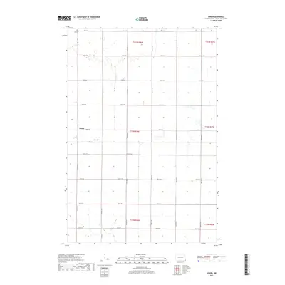
2017 Map of Sonora
USGS Topo · Published 2017About this map
Saint Josephs Cem marks the northern edge of this agricultural landscape in Richland County, just as the 21st-century grid of roads defines the section lines of the Red River Valley. The area is characterized by a precise network of township and range roads, including Co Rd 81 and a series of numbered avenues and streets that facilitate the region's intense farming activity. Small nodes of settlement like Sonora and Oswald appear along these routes, serving as local markers within the vast, flat terrain. Water management is central to the land's utility, evidenced by the winding path of County Ditch Number 30, which cuts through the survey's northern sections. The map preserves the late-era layout of this rural community, where the placement of homesteads and cemetery grounds provides essential clues for local genealogists and land-use historians.
Find a feature on this map
27 named features on this map. Tap any name to fly to it.
Don’t see what you’re looking for? This feature index may not catch every label — zoom into the map to look around manually.
Map Details
Editions of this 2017 Sonora Map
This is the sole edition of this map. No revisions or reprints were ever made.
Other maps of this area

1904 · Wahpeton
USGS Topo · 1:125,000

1915 · White Rock
USGS Topo · 1:62,500

1917 · New Effington
USGS Topo · 1:62,500

1918 · White Rock
USGS Topo · 1:62,500

1953 · Milbank
USGS Topo · 1:250,000

1953 · Fargo
USGS Topo · 1:250,000

1956 · Fargo
USGS Topo · 1:250,000

1958 · Milbank
USGS Topo · 1:250,000

1964 · Fairmount NW
USGS Topo · 1:24,000

1964 · Hankinson SE
USGS Topo · 1:24,000