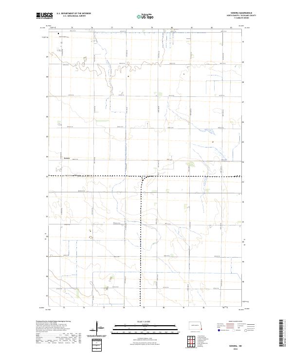
2024 Map of Sonora
USGS Topo · Published 2024About this map
Sonora and the nearby siding of Oswald anchor this rural landscape in Richland County, where the geometric precision of the Public Land Survey System defines the region's agricultural character. This portion of the Red River Valley is marked by a vast network of section-line roads, including Co Rd 81 and numerous numbered avenues like 175th Ave SE, which facilitate the movement of local commerce across the flat plains. In the northwestern corner, Saint Josephs Cem stands as a quiet record of the area's early settlers and Catholic heritage. The drainage needs of the fertile farmland are visible through engineered features like County Ditch Number 30, which winds through Township 131 North, Range 48 West. This map illustrates the intersection of small-scale rail-oriented settlements and the large-scale drainage infrastructure necessary for modern North Dakota agriculture.
Find a feature on this map
27 named features on this map. Tap any name to fly to it.
Don’t see what you’re looking for? This feature index may not catch every label — zoom into the map to look around manually.
Map Details
Editions of this 2024 Sonora Map
This is the sole edition of this map. No revisions or reprints were ever made.
Other maps of this area

1904 · Wahpeton
USGS Topo · 1:125,000

1915 · White Rock
USGS Topo · 1:62,500

1917 · New Effington
USGS Topo · 1:62,500

1918 · White Rock
USGS Topo · 1:62,500

1953 · Milbank
USGS Topo · 1:250,000

1953 · Fargo
USGS Topo · 1:250,000

1956 · Fargo
USGS Topo · 1:250,000

1958 · Milbank
USGS Topo · 1:250,000

1964 · Fairmount NW
USGS Topo · 1:24,000

1964 · Hankinson SE
USGS Topo · 1:24,000