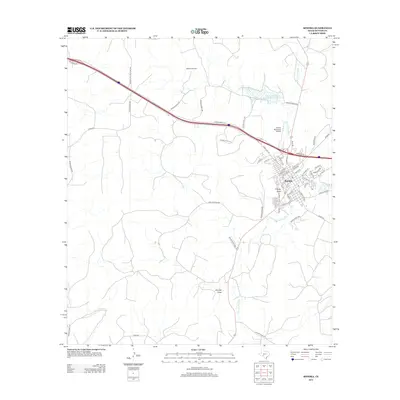
1985 Map of Sonora
USGS Topo · Published 1986About this map
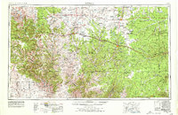
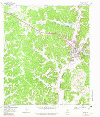
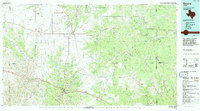
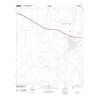
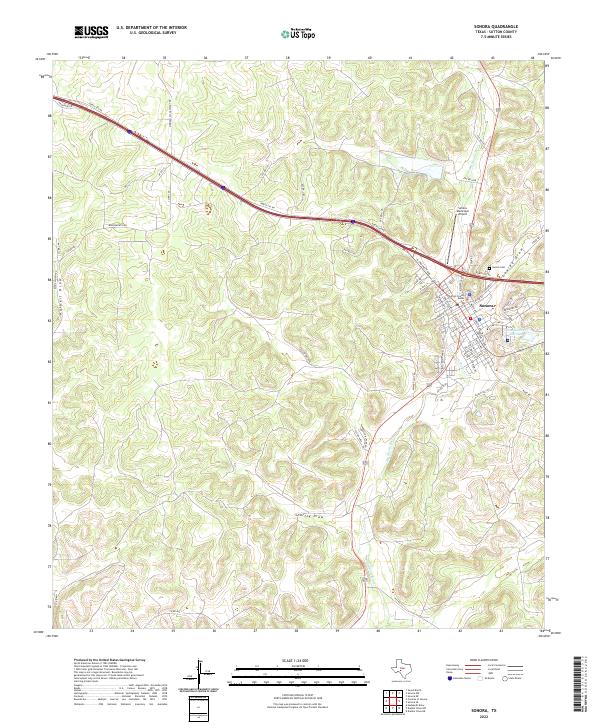
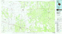
Sonora and Eldorado anchor this 1980s survey of the Edwards Plateau, where the West Texas landscape transitions into a complex network of dry draws and seasonal watercourses. The map documents an economy heavily defined by energy extraction, with extensive networks of the Eldorado Canyon Gas Field, Page Oil and Gas Field, and Hulldale Oil Field dotting the terrain. These industrial footprints sit alongside legacy military and ranching landmarks, most notably the site of Fort McKavett on the banks of the North San Saba River. The drainage patterns are intricate, characterized by long, named features like Middle Prong Valley and the Dry Devils River. An Old Railroad Grade remains visible on the landscape north of Sonora, offering a clear trace of former transit corridors. Near the southern edge, the Caverns of Sonora stands as a distinct geological landmark in a region defined by its subterranean limestone features and rugged surface draws.
Find a feature on this map
57 named features on this map. Tap any name to fly to it.
Don’t see what you’re looking for? This feature index may not catch every label — zoom into the map to look around manually.
Map Details
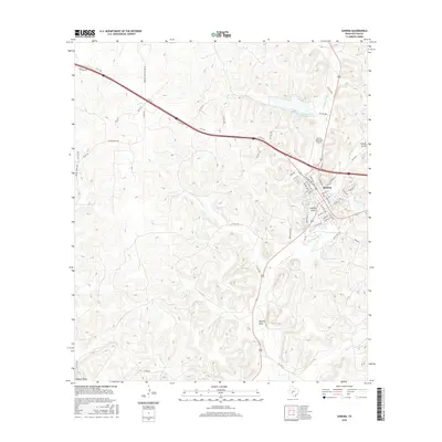
Editions of this 1985 Sonora Map
This is the sole edition of this map. No revisions or reprints were ever made.
Historical Maps of Sonora Through Time
10 maps found