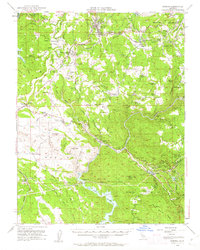
1948 Map of Sonora
USGS Topo · Published 1962About this map
The Sierra Foothills during the late 1940s are defined here by a transition from hard-rock mining legacies to large-scale water infrastructure. Centered on Sonora, the landscape is etched with the activity of the Sierra RR, which served the timber and mining industries of the Mother Lode. Major industrial footprints remain visible at the Harvard Mine and Eagle-Shawmut Mine, while the Hetch Hetchy Aqueduct snakes through the southern half of the quadrangle, signaling the region's critical role in California's hydraulic development.
Find a feature on this map
104 named features on this map. Tap any name to fly to it.
Don’t see what you’re looking for? This feature index may not catch every label — zoom into the map to look around manually.
Map Details
Editions of this 1948 Sonora Map
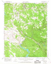
2 editions found
Other maps of this area

1889 · Jackson
USGS Topo · 1:125,000

1891 · Big Trees
USGS Topo · 1:125,000

1892 · Jackson
USGS Topo · 1:125,000

1893 · Sonora
USGS Topo · 1:125,000

1894 · Big Trees
USGS Topo · 1:125,000

1896 · Sonora
USGS Topo · 1:125,000

1897 · Jackson
USGS Topo · 1:125,000

1897 · Sonora
USGS Topo · 1:125,000

1897 · Big Trees
USGS Topo · 1:125,000

1898 · Sonora
USGS Topo · 1:125,000