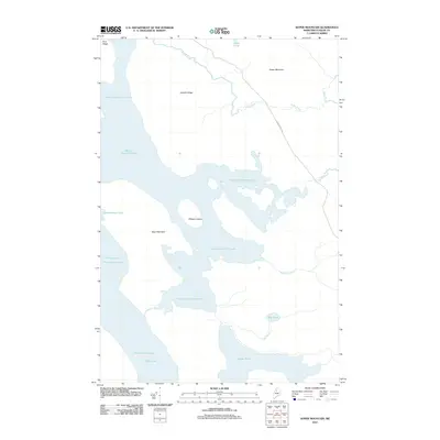
2011 Map of Soper Mountain
USGS Topo · Published 2011About this map
Heron-Churchill Lakes dominate this interior Maine landscape, forming a complex chain of water that connects with Chamberlain Lake and Telos Lake. This early 21st-century survey by the U.S. Geological Survey shows a wilderness shaped by its hydrography, where Pillsbury Island sits as a prominent landmass within the central basin. The terrain is defined by significant elevations such as Soper Mountain and Bear Mountain, which rise above the surrounding bogs and brooks.
Find a feature on this map
16 named features on this map. Tap any name to fly to it.
Don’t see what you’re looking for? This feature index may not catch every label — zoom into the map to look around manually.
Map Details
Editions of this 2011 Soper Mountain Map
This is the sole edition of this map. No revisions or reprints were ever made.
Other maps of this area

1953 · Telos Lake
USGS Topo · 1:62,500

1954 · Chesuncook
USGS Topo · 1:62,500

1954 · Spider Lake
USGS Topo · 1:62,500

1954 · Churchill Lake
USGS Topo · 1:62,500

1954 · Presque Isle
USGS Topo · 1:250,000

1957 · Telos Lake
USGS Topo · 1:62,500

1958 · Presque Isle
USGS Topo · 1:250,000

1958 · Chesuncook
USGS Topo · 1:62,500

1960 · Presque Isle
USGS Topo · 1:250,000

1961 · Spider Lake
USGS Topo · 1:62,500
Featured Places
- T7 R12 WELS, ME
- Eagle Lake Township, ME
- T7 R13 WELS, ME
- Soper Mountain Township, ME
- Piscataquis County, ME