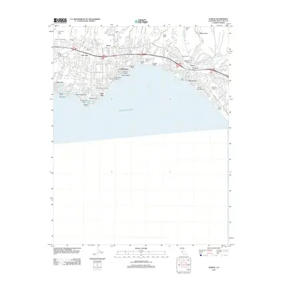
2012 Map of Soquel
USGS Topo · Published 2012About this map
The coastal communities of Santa Cruz County are mapped in detail, showing a densely settled landscape where the Santa Cruz Mountains meet the Pacific Ocean. Residential development and local industry define the area, from the Bargetto Winery in Soquel to the waterfront activity of Capitola. A string of coastal lagoons—Schwan Lagoon, Bonita Lagoon, Corcoran Lagoon, and Moran Lake—illustrate the unique hydrology of the Monterey Bay shoreline. Inland, the map documents numerous gulches and creeks, such as Arana Gulch and Soquel Creek, which have shaped the local topography and street patterns.
Find a feature on this map
92 named features on this map. Tap any name to fly to it.
Don’t see what you’re looking for? This feature index may not catch every label — zoom into the map to look around manually.
Map Details
Editions of this 2012 Soquel Map
This is the sole edition of this map. No revisions or reprints were ever made.
Other maps of this area

1902 · Santa Cruz
USGS Topo · 1:125,000

1912 · Capitola
USGS Topo · 1:62,500

1914 · Capitola
USGS Topo · 1:62,500

1916 · New Almaden
USGS Topo · 1:48,000

1919 · New Almaden
USGS Topo · 1:62,500

1940 · Capitola
USGS Topo · 1:62,500

1940 · Los Gatos
USGS Topo · 1:62,500

1943 · Los Gatos
USGS Topo · 1:62,500

1947 · San Francisco
USGS Topo · 1:250,000

1947 · San Jose
USGS Topo · 1:250,000