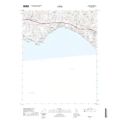
2018 Map of Soquel
USGS Topo · Published 2018About this map
Santa Cruz and the neighboring coastal communities of Capitola and Aptos line the northern edge of Monterey Bay in this contemporary record. The shoreline is defined by a series of distinct coastal features, including the Capitola Bluffs and Pleasure Point, while several lagoons such as Corcoran Lagoon and Schwan Lagoon separate the residential districts. Further inland, the landscape transitions into the southern reaches of the Santa Cruz Mountains, where Monte Toyon stands above the urban corridors.
Find a feature on this map
76 named features on this map. Tap any name to fly to it.
Don’t see what you’re looking for? This feature index may not catch every label — zoom into the map to look around manually.
Map Details
Editions of this 2018 Soquel Map
This is the sole edition of this map. No revisions or reprints were ever made.
Other maps of this area

1902 · Santa Cruz
USGS Topo · 1:125,000

1912 · Capitola
USGS Topo · 1:62,500

1914 · Capitola
USGS Topo · 1:62,500

1916 · New Almaden
USGS Topo · 1:48,000

1919 · New Almaden
USGS Topo · 1:62,500

1940 · Capitola
USGS Topo · 1:62,500

1940 · Los Gatos
USGS Topo · 1:62,500

1943 · Los Gatos
USGS Topo · 1:62,500

1947 · San Francisco
USGS Topo · 1:250,000

1947 · San Jose
USGS Topo · 1:250,000