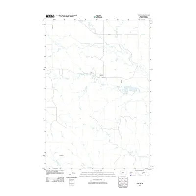
2012 Map of Sorum
USGS Topo · Published 2012About this map
Sorum sits at the junction of Sorum Rd and 156th Ave in this Perkins County landscape. The area is defined by a dendritic network of prairie drainages, including Rabbit Cr and Gap Cr, which meander through the terrain. The presence of the Meyer Landing Strip just west of the main settlement suggests the importance of light aircraft for transportation in this rural region.
Find a feature on this map
12 named features on this map. Tap any name to fly to it.
Don’t see what you’re looking for? This feature index may not catch every label — zoom into the map to look around manually.
Map Details
Editions of this 2012 Sorum Map
This is the sole edition of this map. No revisions or reprints were ever made.
Other maps of this area

1935 · Reva
USGS Topo · 1:125,000

1935 · Hoover
USGS Topo · 1:125,000

1954 · Lemmon
USGS Topo · 1:250,000

1957 · Lemmon
USGS Topo · 1:250,000

1968 · Reva
USGS Topo · 1:24,000

1968 · Sheep Mountain
USGS Topo · 1:24,000

1968 · Flat Top Butte
USGS Topo · 1:24,000

1980 · Redig
USGS Topo · 1:100,000

1980 · Camp Crook
USGS Topo · 1:100,000

1983 · Sorum NE
USGS Topo · 1:24,000