
Loading...
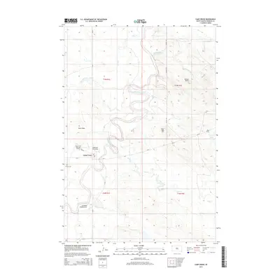
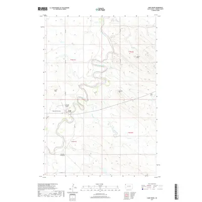
Loading map...1980 Map of Camp Crook
USGS Topo · Published 1980About this map
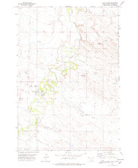
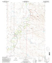
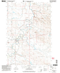
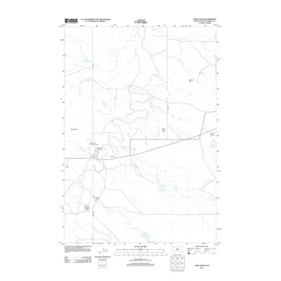
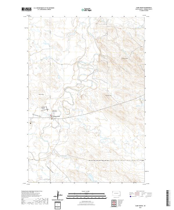
Camp Crook serves as the primary settlement in this 1980 survey of the northwestern corner of South Dakota and the southern edge of North Dakota. The landscape is defined by the winding course of the Little Missouri River and the expansive reaches of the Custer National Forest, which is divided into distinct sections across the high plains. Small ranching communities like Ladner, Ludlow, and Reva anchor the surrounding territory, connected by state routes 85 and 20.
Find a feature on this map
113 named features on this map. Tap any name to fly to it.
Don’t see what you’re looking for? This feature index may not catch every label — zoom into the map to look around manually.
Map Details
Date Portrayed1980
Date Published1980
PublisherU.S. Geological Survey
Map TypeTopographic
Scale1:100,000
Physical Dimensions38.2 x 24.2 inches
Editions of this 1980 Camp Crook Map
This is the sole edition of this map. No revisions or reprints were ever made.
Historical Maps of Buffalo Through Time
8 maps found
Featured Locations
Source Details
SourceU.S. Geological Survey
CopyrightPublic Domain