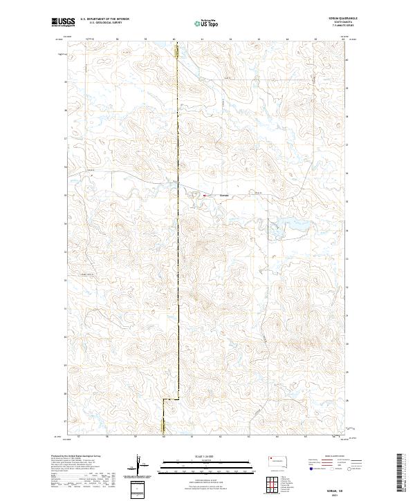
2021 Map of Sorum
USGS Topo · Published 2021About this map
Sorum stands as the central point of interest in this high-plains landscape, situated along the county line where Harding Co and Perkins Co meet. The geography is defined by a dendritic network of seasonal drainages, most notably Rabbit Creek, which flows eastward across the center of the sheet alongside tributaries like Gap Cr and Duck Cr. To the south, Peggy Cr carves through the terrain, illustrating the gradual erosion patterns typical of the region. Transportation in this era relies on a grid of rural routes including Sorum Rd and Zeona Rd, which connect isolated homesteads and ranching tracts. The map provides a precise look at the Public Land Survey System divisions, showing the intersections of Township 17 North and Township 18 North across Ranges 9 and 10 East.
Find a feature on this map
19 named features on this map. Tap any name to fly to it.
Don’t see what you’re looking for? This feature index may not catch every label — zoom into the map to look around manually.
Map Details
Editions of this 2021 Sorum Map
This is the sole edition of this map. No revisions or reprints were ever made.
Other maps of this area

1935 · Reva
USGS Topo · 1:125,000

1935 · Hoover
USGS Topo · 1:125,000

1954 · Lemmon
USGS Topo · 1:250,000

1957 · Lemmon
USGS Topo · 1:250,000

1968 · Reva
USGS Topo · 1:24,000

1968 · Sheep Mountain
USGS Topo · 1:24,000

1968 · Flat Top Butte
USGS Topo · 1:24,000

1980 · Redig
USGS Topo · 1:100,000

1980 · Camp Crook
USGS Topo · 1:100,000

1983 · Sorum NE
USGS Topo · 1:24,000