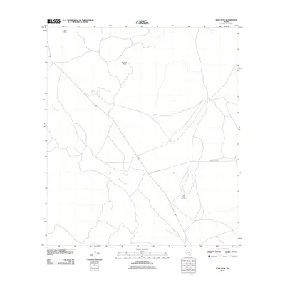
2011 Map of Sosa Peak
USGS Topo · Published 2011About this map
Sosa Peak stands as a prominent elevation in this remote corner of Brewster County, overseeing a landscape defined by dramatic geological cuts and seasonal watercourses. The drainage of Maravillas Creek winds through the southern half of the area, while the rugged topography is carved by the significant natural trenches of Big Dark Canyon in the north and its counterpart, Little Dark Canyon, to the south. This 2011 survey captures the area’s connectivity via the isolated track of Dove Mountain Rd, which cuts across the arid terrain. The map reflects a landscape of vast open space where human intervention is limited to a few arterial roads and unnamed structures, highlighting the character of the West Texas desert before more intensive modern developments might alter these traditional ranching and wildlife corridors.
Find a feature on this map
5 named features on this map. Tap any name to fly to it.
Don’t see what you’re looking for? This feature index may not catch every label — zoom into the map to look around manually.
Map Details
Editions of this 2011 Sosa Peak Map
This is the sole edition of this map. No revisions or reprints were ever made.
Other maps of this area

1917 · Santiago Peak
USGS Topo · 1:62,500

1917 · Bone Spring
USGS Topo · 1:62,500

1917 · Hood Spring
USGS Topo · 1:62,500

1918 · Bone Spring
USGS Topo · 1:125,000

1918 · Hood Spring
USGS Topo · 1:62,500

1918 · Santiago Peak
USGS Topo · 1:62,500

1918 · Bone Spring
USGS Topo · 1:62,500

1918 · Nine Point Mesa
USGS Topo · 1:62,500

1920 · Bone Spring
USGS Topo · 1:62,500

1931 · Hood Spring
USGS Topo · 1:62,500