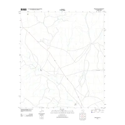
2012 Map of Sosa Peak
USGS Topo · Published 2012About this map
Sosa Peak towers over a remote landscape in Brewster County, where the topography is defined by deep incisions in the desert floor. The seasonal drainage of Maravillas Cr snakes through the territory, flanked by the dramatic relief of Big Dark Canyon and Little Dark Canyon. This arid expanse reflects the rugged isolation of the Big Bend region in the early twenty-first century, with human infrastructure limited primarily to the unpaved corridor of Dove Mountain Rd. The map illustrates a classic Trans-Pecos environment where ranching routes and natural drainages dictate the few points of access across the limestone-laden terrain.
Find a feature on this map
5 named features on this map. Tap any name to fly to it.
Don’t see what you’re looking for? This feature index may not catch every label — zoom into the map to look around manually.
Map Details
Editions of this 2012 Sosa Peak Map
This is the sole edition of this map. No revisions or reprints were ever made.
Other maps of this area

1917 · Santiago Peak
USGS Topo · 1:62,500

1917 · Bone Spring
USGS Topo · 1:62,500

1917 · Hood Spring
USGS Topo · 1:62,500

1918 · Bone Spring
USGS Topo · 1:125,000

1918 · Hood Spring
USGS Topo · 1:62,500

1918 · Santiago Peak
USGS Topo · 1:62,500

1918 · Bone Spring
USGS Topo · 1:62,500

1918 · Nine Point Mesa
USGS Topo · 1:62,500

1920 · Bone Spring
USGS Topo · 1:62,500

1931 · Hood Spring
USGS Topo · 1:62,500