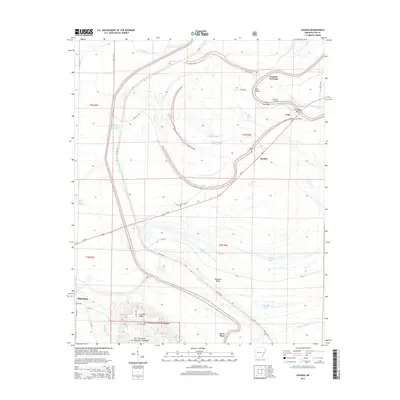
2014 Map of Soudan
USGS Topo · Published 2014About this map
Crowley Ridge rises above the alluvial bottomlands of Lee County, marking a distinctive geological break in the landscape near Marianna. The terrain is defined by its complex hydrology, where the Saint Francis River and the L'Anguille River dominate the drainage patterns. This 2014 survey documents the eastern edge of the St. Francis National Forest, illustrating how the protected woodlands meet the agricultural reaches of the Mississippi Delta.
Find a feature on this map
53 named features on this map. Tap any name to fly to it.
Don’t see what you’re looking for? This feature index may not catch every label — zoom into the map to look around manually.
Map Details
Editions of this 2014 Soudan Map
This is the sole edition of this map. No revisions or reprints were ever made.
Other maps of this area

1939 · Park Place
USGS Topo · 1:62,500

1939 · Latour
USGS Topo · 1:62,500

1940 · Marvell
USGS Topo · 1:62,500

1940 · Marianna
USGS Topo · 1:62,500

1948 · Helena
USGS Topo · 1:250,000

1950 · Helena
USGS Topo · 1:250,000

1955 · Park Place
USGS Topo · 1:62,500

1955 · Latour
USGS Topo · 1:62,500

1955 · Helena
USGS Topo · 1:250,000

1956 · Marvell
USGS Topo · 1:62,500