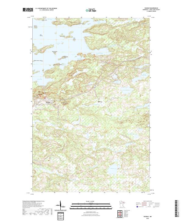
2022 Map of Soudan
USGS Topo · Published 2022About this map
Soudan and the surrounding iron range landscape define this 2022 survey, where the legacy of mining is etched into the terrain near Jasper Peak. The northern reaches of the map are dominated by the intricate shorelines and numerous islands of Vermilion Lake, including Ely Island and the cluster of the Seven Sisters Islands. This area serves as a significant recreational and wilderness corridor, evidenced by the extensive trail networks such as the David Dill-Taconite State Trl and the Mesabi Trl, which navigate the complex wetland and forest systems. Local history is grounded in the road names and settlement patterns of Murray and the residential streets of Soudan, reflecting the long-standing human presence in the St. Louis County backcountry. From the flow of the Armstrong River to the quiet waters of Little Skeleton Lake, the map captures a modern snapshot of a region shaped by both its geology and its transition into a hub for outdoor passage.
Find a feature on this map
58 named features on this map. Tap any name to fly to it.
Don’t see what you’re looking for? This feature index may not catch every label — zoom into the map to look around manually.
Map Details
Editions of this 2022 Soudan Map
This is the sole edition of this map. No revisions or reprints were ever made.
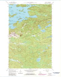
Historical Maps of Murray Through Time
Featured Locations
- Bear Head Lake, MN
- Breitung Township, MN
- Eagles Nest Township, MN
- Murray, Breitung Township
- Soudan, Breitung Township