Loading...
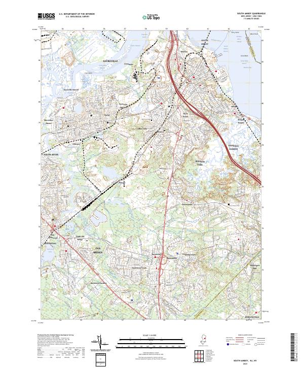
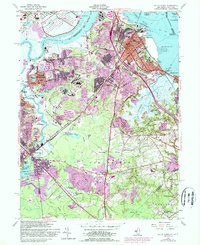
Loading map...2023 Map of South Amboy
USGS Topo · Published 2023About this map
The Raritan River and Raritan Bay dominate the northern landscape of this region, shaping the industrial and residential corridors of South Amboy and Sayreville. A complex network of reaches and channels, including Great Beds Reach and Titanium Reach, underscores the maritime significance of this shoreline. Moving inland, the terrain transitions into a dense concentration of suburban developments and historical pockets like Melrose, Parlin, and Ernston.
Find a feature on this map
84 named features on this map. Tap any name to fly to it.
Don’t see what you’re looking for? This feature index may not catch every label — zoom into the map to look around manually.
Map Details
Date Portrayed2023
Date Published2023
PublisherU.S. Geological Survey
Map TypeTopographic
Scale1:24000
Physical Dimensions24 x 29 inches
Editions of this 2023 South Amboy Map
This is the sole edition of this map. No revisions or reprints were ever made.
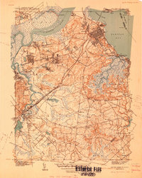
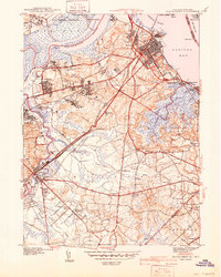
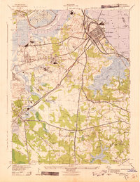
Historical Maps of Henningers Mill Through Time
6 maps found
Featured Locations
Source Details
SourceU.S. Geological Survey
CopyrightPublic Domain