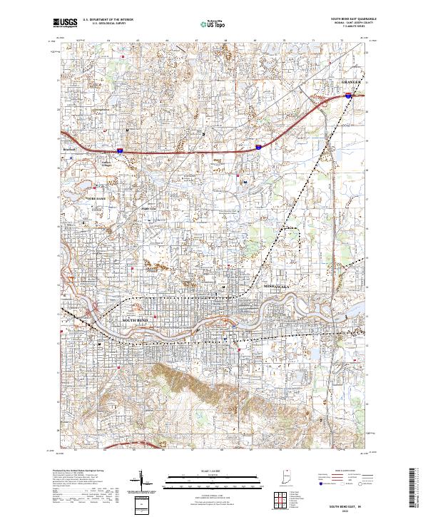
2022 Map of South Bend East
USGS Topo · Published 2022About this map
The Saint Joseph River anchors this urban and suburban landscape, winding through the industrial and academic heart of St. Joseph County. The twin cities of South Bend and Mishawaka are shown in full modern development, centered on the Saint Joseph County Courthouse Mishawaka and the sprawling campus of the University of Notre Dame to the northwest. These educational hubs are joined by Indiana University South Bend and Bethel College, illustrating the region's dense institutional character. Smaller residential pockets like Indian Village and Maple Lane are interspersed among major thoroughfares such as Lincolnway E and Douglas Rd. Older layers of the community are preserved in the numerous burial grounds scattered across the quadrangle, including Stuckey Cem, Cedar Grove Cem, and Fairview Cem. The Grand Trunk Western RR remains a visible corridor of the area's rail-heavy industrial heritage.
Find a feature on this map
57 named features on this map. Tap any name to fly to it.
Don’t see what you’re looking for? This feature index may not catch every label — zoom into the map to look around manually.
Map Details
Editions of this 2022 South Bend East Map
This is the sole edition of this map. No revisions or reprints were ever made.
Other maps of this area

1927 · Niles
USGS Topo · 1:62,500

1930 · Niles
USGS Topo · 1:62,500

1943 · Niles
USGS Topo · 1:62,500

1945 · Cassopolis
USGS Topo · 1:62,500

1947 · Cassopolis
USGS Topo · 1:62,500

1953 · Chicago
USGS Topo · 1:250,000

1957 · Chicago
USGS Topo · 1:250,000

1958 · South Bend East
USGS Topo · 1:24,000

1958 · South Bend West
USGS Topo · 1:24,000

1958 · Osceola
USGS Topo · 1:24,000