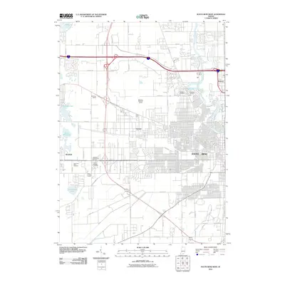
2010 Map of South Bend West
USGS Topo · Published 2010About this map
The Saint Joseph River winds through the eastern portion of this landscape, defining the urban transition of South Bend and the neighboring community of Roseland. This 2010 survey highlights a sophisticated transportation and aviation hub, anchored by the Michiana Regional Airport and smaller airstrips like Mcclures Airport and Chain-O-Lakes Airport. The suburban and industrial growth of Ardmore and Westfield is contrasted by several significant cultural landmarks, including the Hungarian Sacred Heart Cemetery and Saint Josephs Cemetery.
Find a feature on this map
51 named features on this map. Tap any name to fly to it.
Don’t see what you’re looking for? This feature index may not catch every label — zoom into the map to look around manually.
Map Details
Editions of this 2010 South Bend West Map
This is the sole edition of this map. No revisions or reprints were ever made.
Other maps of this area

1927 · Niles
USGS Topo · 1:62,500

1930 · Niles
USGS Topo · 1:62,500

1943 · Niles
USGS Topo · 1:62,500

1945 · Cassopolis
USGS Topo · 1:62,500

1947 · Cassopolis
USGS Topo · 1:62,500

1953 · Chicago
USGS Topo · 1:250,000

1957 · Chicago
USGS Topo · 1:250,000

1958 · South Bend East
USGS Topo · 1:24,000

1958 · South Bend West
USGS Topo · 1:24,000

1958 · Lydick
USGS Topo · 1:24,000