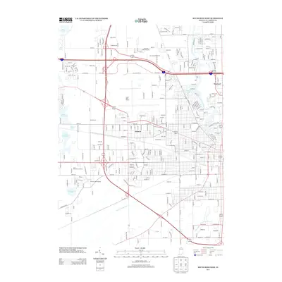
2013 Map of South Bend West
USGS Topo · Published 2013About this map
The Saint Joseph River anchors the eastern edge of this landscape, winding past the community of Roseland and the recreational waters of Pinhook Lake. This 2013 survey captures the suburban and industrial expansion west of the city center, where the South Bend Airport serves as a major regional hub. The map details the transition from dense residential blocks in Ardmore to the more open spaces of the west, characterized by a network of drainage features like the Dixon W Place Ditch and Authen Ditch. Local recreation and transit are prominent, from the South Bend Motor Speedway to the Chain-O-Lakes Airport, nestled near a string of water bodies including North Chain Lake and South Chain Lake. For researchers, the map provides a precise look at the early 21st-century infrastructure of St. Joseph County.
Find a feature on this map
285 named features on this map. Tap any name to fly to it.
Don’t see what you’re looking for? This feature index may not catch every label — zoom into the map to look around manually.
Map Details
Editions of this 2013 South Bend West Map
This is the sole edition of this map. No revisions or reprints were ever made.
Other maps of this area

1927 · Niles
USGS Topo · 1:62,500

1930 · Niles
USGS Topo · 1:62,500

1943 · Niles
USGS Topo · 1:62,500

1945 · Cassopolis
USGS Topo · 1:62,500

1947 · Cassopolis
USGS Topo · 1:62,500

1953 · Chicago
USGS Topo · 1:250,000

1957 · Chicago
USGS Topo · 1:250,000

1958 · South Bend East
USGS Topo · 1:24,000

1958 · South Bend West
USGS Topo · 1:24,000

1958 · Lydick
USGS Topo · 1:24,000