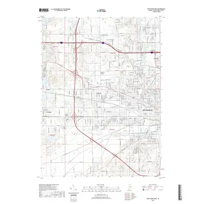
2019 Map of South Bend West
USGS Topo · Published 2019About this map
South Bend and its western outskirts are defined here by a dense network of transportation and academic institutions near the Saint Joseph River. The campus of Saint Marys College sits just north of the city in Roseland, while the expansive South Bend International Airport dominates the central landscape. The surrounding area preserves a history of local community through numerous burial grounds, including the Hungarian Sacred Heart Cem and Saint Josephs Cem, which reflect the area's diverse ethnic heritage. To the west, the topography opens into a series of interconnected water bodies such as Chain-O-Lakes, North Chain Lake, and Chamberlain Lake. Small unincorporated communities like Ardmore, Lydick, and Westfield are connected by major historical corridors such as Lincolnway W and the Crumstown Hwy, illustrating the transition from urban centers to the rural fringes of Saint Joseph County.
Find a feature on this map
50 named features on this map. Tap any name to fly to it.
Don’t see what you’re looking for? This feature index may not catch every label — zoom into the map to look around manually.
Map Details
Editions of this 2019 South Bend West Map
This is the sole edition of this map. No revisions or reprints were ever made.
Other maps of this area

1927 · Niles
USGS Topo · 1:62,500

1930 · Niles
USGS Topo · 1:62,500

1943 · Niles
USGS Topo · 1:62,500

1945 · Cassopolis
USGS Topo · 1:62,500

1947 · Cassopolis
USGS Topo · 1:62,500

1953 · Chicago
USGS Topo · 1:250,000

1957 · Chicago
USGS Topo · 1:250,000

1958 · South Bend East
USGS Topo · 1:24,000

1958 · South Bend West
USGS Topo · 1:24,000

1958 · Lydick
USGS Topo · 1:24,000