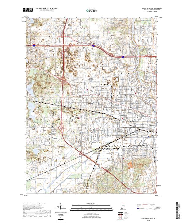
2022 Map of South Bend West
USGS Topo · Published 2022About this map
The Saint Joseph River anchors the northeastern portion of this study, winding past Roseland and the historic campuses of Saint Mary's College and Holy Cross College. This landscape showcases the dense urban expansion of South Bend as it reaches westward toward the South Bend International Airport and the smaller outskirts of Ardmore. The map documents a significant concentration of local heritage sites, including the Saint Joseph County Courthouse and several prominent burial grounds such as Riverview Cem and Highland Cem. To the west, the terrain transitions into a series of glacial depressions, forming the Chain Lakes system and the Chamberlain Lake area. Notable genealogy landmarks are scattered throughout the rural-urban fringe, from the Hungarian Sacred Heart Cem to the settlement of Lydick, reflecting the varied community development patterns that define St. Joseph County in the early twenty-first century.
Find a feature on this map
120 named features on this map. Tap any name to fly to it.
Don’t see what you’re looking for? This feature index may not catch every label — zoom into the map to look around manually.
Map Details
Editions of this 2022 South Bend West Map
This is the sole edition of this map. No revisions or reprints were ever made.
Historical Maps of Keller Park Through Time
13 maps found

1958 Lydick
St. Joseph County, IN

1958 South Bend East
St. Joseph County, IN

1958 South Bend West
St. Joseph County, IN
1961 Wyatt
St. Joseph County, IN
1969 Lydick
St. Joseph County, IN
1969 South Bend East
St. Joseph County, IN
1969 South Bend West
St. Joseph County, IN
1992 South Bend East
St. Joseph County, IN
1992 Wyatt
St. Joseph County, IN
2022 Lydick
St. Joseph County, IN
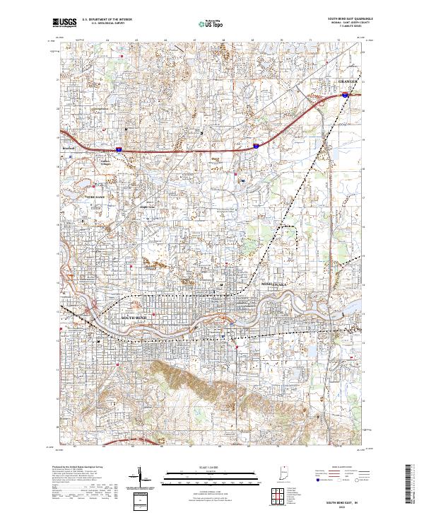
2022 South Bend East
St. Joseph County, IN
2022 South Bend West
St. Joseph County, IN
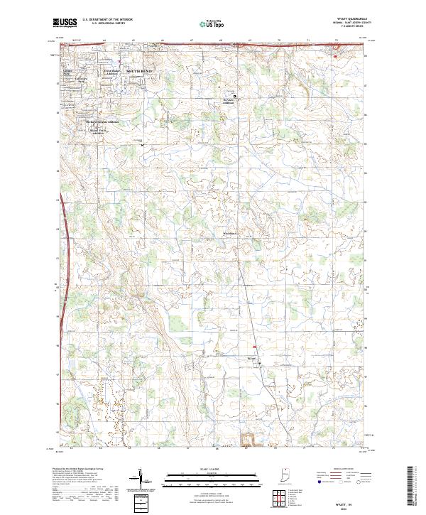
2022 Wyatt
St. Joseph County, IN