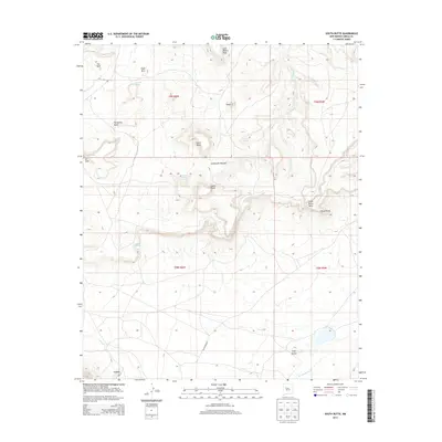
2013 Map of South Butte
USGS Topo · Published 2013About this map
South Butte and North Butte dominate the central geography of this Cibola County landscape, standing as prominent landmarks above a terrain defined by dramatic mesas and intermittent water sources. The drainage of Rio Gypsum carves through the northern half of the area, while Big Sandy Wash marks the southern reaches. The settlement pattern is characterized by distinct localized sites including Tze-Midi in the northwest, Timia near the center, and Katama further south. Notable water features like Kemp Santiago Spring and Alamo Spring suggest the critical importance of reliable water in this arid environment. Transportation is limited to a few specific routes such as Black Mesa Dr and Rte 49, providing access through the Southwest Passage and around the base of Casa Blanca Mesa.
Find a feature on this map
28 named features on this map. Tap any name to fly to it.
Don’t see what you’re looking for? This feature index may not catch every label — zoom into the map to look around manually.
Map Details
Editions of this 2013 South Butte Map
This is the sole edition of this map. No revisions or reprints were ever made.
Other maps of this area

1883 · Mt. Taylor
USGS Topo · 1:250,000

1886 · Mt. Taylor
USGS Topo · 1:250,000

1892 · Mt. Taylor
USGS Topo · 1:250,000

1899 · Mt. Taylor
USGS Topo · 1:250,000

1917 · Cerro Verde
USGS Topo · 1:125,000

1917 · Broom Mountain
USGS Topo · 1:125,000

1954 · Socorro
USGS Topo · 1:250,000

1957 · Laguna
USGS Topo · 1:24,000

1957 · Cubero
USGS Topo · 1:24,000

1957 · Mesita
USGS Topo · 1:24,000