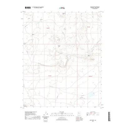
2020 Map of South Butte
USGS Topo · Published 2020About this map
South Butte and North Butte dominate this high-desert landscape in Cibola County, where intricate drainage patterns define the plateau. The map details a network of indigenous service routes, including Indian Svc Rte 492 and Indian Svc Rte 491, which connect remote outposts and named locations such as Tze-Midi, Timia, and Katama. This region is characterized by significant topographical shifts, from the heights of Casa Blanca Mesa and South Point Mesa down to the seasonal waterways of Rio Gypsum and Big Sandy Wash. For researchers, the presence of various springs like Turquoise Spring, Coyote Spring, and Alamo Spring reveals the critical water sources that have sustained life and transit in this arid environment. The map also records localized landmarks like Sugar Rock and Sharp Point, providing a fine-grained view of this specific section of the New Mexico interior.
Find a feature on this map
33 named features on this map. Tap any name to fly to it.
Don’t see what you’re looking for? This feature index may not catch every label — zoom into the map to look around manually.
Map Details
Editions of this 2020 South Butte Map
This is the sole edition of this map. No revisions or reprints were ever made.
Other maps of this area

1883 · Mt. Taylor
USGS Topo · 1:250,000

1886 · Mt. Taylor
USGS Topo · 1:250,000

1892 · Mt. Taylor
USGS Topo · 1:250,000

1899 · Mt. Taylor
USGS Topo · 1:250,000

1917 · Cerro Verde
USGS Topo · 1:125,000

1917 · Broom Mountain
USGS Topo · 1:125,000

1954 · Socorro
USGS Topo · 1:250,000

1957 · Laguna
USGS Topo · 1:24,000

1957 · Cubero
USGS Topo · 1:24,000

1957 · Mesita
USGS Topo · 1:24,000