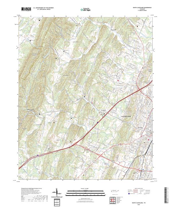
2022 Map of South Cleveland
USGS Topo · Published 2022About this map
Cleveland and its southern suburbs occupy the eastern half of this modern topographical study, showing the city's growth along the Harrison Pike. The landscape is dominated by the parallel ridges of the Appalachian Valley and Ridge province, including the prominent White Oak Mountain and Candies Creek Ridge. Between these heights, narrow valleys like Rabbit Valley and White Oak Valley host a network of small creeks and rural cemeteries. The area's transition from residential development to more rugged terrain is clear, with landmarks such as Cleveland State Community College and the Bradley County Courthouse marking the urban core, while Lead Mine Ridge and Orphan Ridge define the western horizon. Numerous family burial grounds, including Goodner Cem and Price Cem, are scattered throughout the hills, providing valuable data for those researching the early settlement patterns of the Hamilton and Bradley county border.
Find a feature on this map
199 named features on this map. Tap any name to fly to it.
Don’t see what you’re looking for? This feature index may not catch every label — zoom into the map to look around manually.
Map Details
Editions of this 2022 South Cleveland Map
This is the sole edition of this map. No revisions or reprints were ever made.
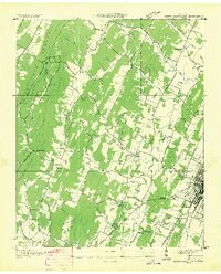
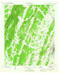
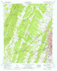
Historical Maps of Annadale Through Time
4 maps found