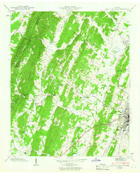
1943 Map of South Cleveland
USGS Topo · Published 1966About this map
White Oak Mountain and White Oak Ridge dominate the western landscape of this mid-century survey, creating a natural barrier that funnelled early settlement and transport toward the flatter valleys to the east. Along the Southern railroad line, the expansion of Cleveland and South Cleveland is evident, showing a transition from the traditional rural landscape to a more established regional hub. The map captures a dense network of community landmarks, including the Pentecostal Orphanage and numerous country churches like Bancroft Ch and Little Hopewell Ch. The drainage patterns of Candies Creek and its many branches like Lick Branch reflect the agricultural layout of the time, where farms and schools like Moore Sch were closely tied to the water and the early road system along Harrison Pike.
Find a feature on this map
94 named features on this map. Tap any name to fly to it.
Don’t see what you’re looking for? This feature index may not catch every label — zoom into the map to look around manually.
Map Details
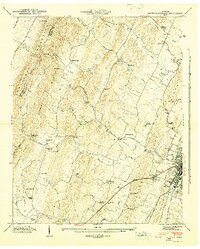
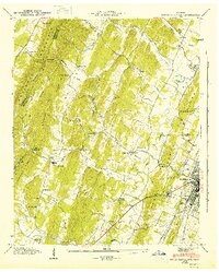
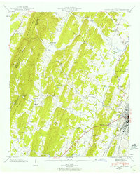
Editions of this 1943 South Cleveland Map
4 editions found
Other maps of this area

1886 · Cleveland
USGS Topo · 1:125,000

1888 · Chattanooga
USGS Topo · 1:125,000

1892 · Cleveland
USGS Topo · 1:125,000

1893 · Chattanooga
USGS Topo · 1:125,000

1895 · Cleveland
USGS Topo · 1:125,000

1901 · Cleveland
USGS Topo · 1:125,000

1935 · East Cleveland
USGS Topo · 1:24,000

1935 · Mc Donald
USGS Topo · 1:24,000

1935 · Felker
USGS Topo · 1:24,000

1935 · Snow Hill
USGS Topo · 1:24,000