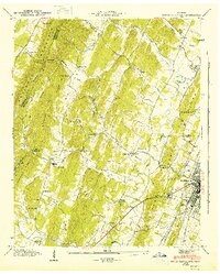
1943 Map of South Cleveland
USGS Topo · Published 1946About this map
White Oak Mountain and the parallel folds of White Oak Ridge dominate the western portion of this 1943 survey, creating a landscape of narrow valleys and high gaps. The terrain funnels settlement toward the eastern plains around Cleveland, where the Southern railroad and historic thoroughfares like the Harrison Pike and Lee Highway converge. This proximity to established transport routes fostered a dense network of country institutions, from the Pentecostal Orphanage to numerous community centers such as Norman Chapel Sch and Shiloh Ch.
Find a feature on this map
65 named features on this map. Tap any name to fly to it.
Don’t see what you’re looking for? This feature index may not catch every label — zoom into the map to look around manually.
Map Details
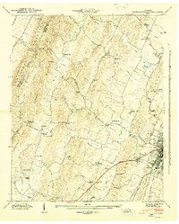
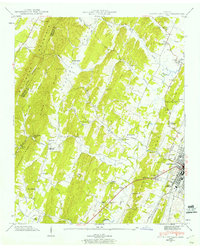
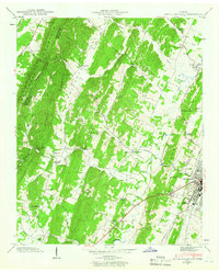
Editions of this 1943 South Cleveland Map
4 editions found
Other maps of this area

1886 · Cleveland
USGS Topo · 1:125,000

1888 · Chattanooga
USGS Topo · 1:125,000

1892 · Cleveland
USGS Topo · 1:125,000

1893 · Chattanooga
USGS Topo · 1:125,000

1895 · Cleveland
USGS Topo · 1:125,000

1901 · Cleveland
USGS Topo · 1:125,000

1935 · East Cleveland
USGS Topo · 1:24,000

1935 · Mc Donald
USGS Topo · 1:24,000

1935 · Felker
USGS Topo · 1:24,000

1935 · Snow Hill
USGS Topo · 1:24,000