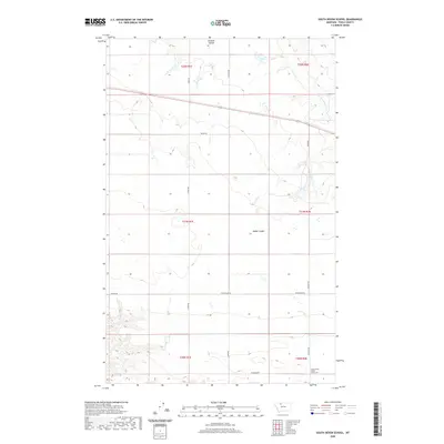
2020 Map of South Devon School
USGS Topo · Published 2020About this map
South Devon School (historical) anchors the southeastern portion of this Toole County landscape, serving as a significant marker of past rural education in northern Montana. The terrain is defined by a series of drainage systems, most notably Dunkirk Coulee in the north and Dodge Coulee centrally located, which create natural contours across the high plains. A network of section-line roads, including Telstad Rd, Frydenlund Rd, and Adamson Rd, reveals the enduring grid of agricultural land divisions typical of this region. The northern reaches are further defined by the W Fork Willow Cr, while southern property boundaries are traced by Peterson Rd. This map captures the intersection of contemporary ranching infrastructure with the sites of early 20th-century community life.
Find a feature on this map
21 named features on this map. Tap any name to fly to it.
Don’t see what you’re looking for? This feature index may not catch every label — zoom into the map to look around manually.
Map Details
Editions of this 2020 South Devon School Map
This is the sole edition of this map. No revisions or reprints were ever made.
Other maps of this area

1920 · Conrad
USGS Topo · 1:125,000

1943 · Antelope Coulee
USGS Topo · 1:62,500

1954 · Shelby
USGS Topo · 1:250,000

1958 · Shelby
USGS Topo · 1:250,000

1962 · Mc Carters Lake
USGS Topo · 1:24,000

1967 · Central School
USGS Topo · 1:24,000

1967 · Conrad Butte
USGS Topo · 1:24,000

1967 · South Devon School
USGS Topo · 1:24,000

1967 · Dunkirk
USGS Topo · 1:24,000

1970 · Devon
USGS Topo · 1:24,000