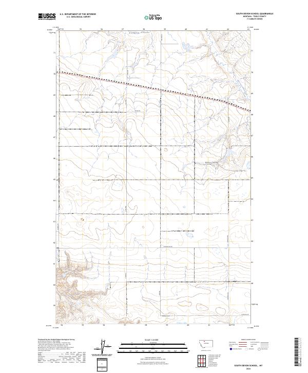
2024 Map of South Devon School
USGS Topo · Published 2024About this map
Dunkirk Coulee cuts across the northern landscape of this Toole County township, defining the drainage patterns of a high-plains region dominated by expansive agricultural grids. The terrain is characterized by long, straight section-line roads reflecting the systematic land surveys of the American West. Key arterial routes like Telstad Rd and Adamson Rd provide the primary framework for movement across this sparsely populated section of Montana.
Find a feature on this map
19 named features on this map. Tap any name to fly to it.
Don’t see what you’re looking for? This feature index may not catch every label — zoom into the map to look around manually.
Map Details
Editions of this 2024 South Devon School Map
This is the sole edition of this map. No revisions or reprints were ever made.
Other maps of this area

1920 · Conrad
USGS Topo · 1:125,000

1943 · Antelope Coulee
USGS Topo · 1:62,500

1954 · Shelby
USGS Topo · 1:250,000

1958 · Shelby
USGS Topo · 1:250,000

1962 · Mc Carters Lake
USGS Topo · 1:24,000

1967 · Central School
USGS Topo · 1:24,000

1967 · Conrad Butte
USGS Topo · 1:24,000

1967 · South Devon School
USGS Topo · 1:24,000

1967 · Dunkirk
USGS Topo · 1:24,000

1970 · Devon
USGS Topo · 1:24,000